
How Drone Mapping Services Are Revolutionizing Australian Industries
JW
Introduction to Drone Mapping Services
In recent years, drone mapping services have emerged as a groundbreaking technology across various sectors. In Australia, industries are rapidly adopting this innovation to enhance efficiency, accuracy, and cost-effectiveness. From agriculture to construction, drones are transforming the way businesses operate.
Drone mapping involves the use of unmanned aerial vehicles (UAVs) equipped with high-resolution cameras and sensors to capture detailed aerial images. These images are then processed to create accurate maps and 3D models.

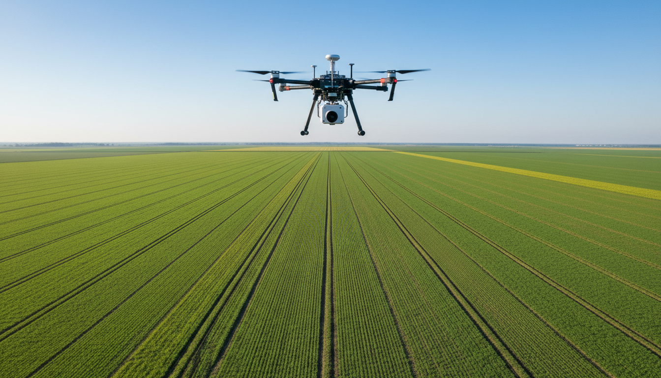
Applications in Agriculture
The agricultural sector in Australia is experiencing a revolution with the integration of drone mapping services. Farmers can now monitor crops, assess soil health, and manage resources more effectively. By using drones, farmers can obtain real-time data to make informed decisions, ultimately increasing yield and reducing waste.
Key benefits of drone mapping in agriculture include:
- Precision farming through detailed crop analysis
- Efficient irrigation management
- Early detection of pests and diseases
Enhancing Construction and Infrastructure
In the construction industry, drone mapping services have become indispensable. They offer a new level of precision in site surveys, progress monitoring, and safety inspections. By using drones, construction companies can reduce the time and cost associated with traditional surveying methods.
Some advantages include:
- Accurate topographic surveys
- Improved project management through regular updates
- Enhanced safety by minimizing human exposure to hazardous areas

Environmental Conservation Efforts
Drone mapping is also playing a crucial role in environmental conservation in Australia. By providing detailed aerial imagery, drones help in monitoring wildlife habitats, assessing the impact of natural disasters, and managing natural resources sustainably.
This technology aids in:
- Tracking wildlife populations
- Monitoring deforestation and land degradation
- Supporting disaster response and recovery operations

Future Prospects and Challenges
While drone mapping services are revolutionizing various industries, there are challenges that need to be addressed. These include regulatory hurdles, privacy concerns, and the need for skilled operators. However, as technology advances and regulations adapt, the potential for drones in Australia is immense.
The future of drone mapping looks promising, with continuous innovations paving the way for even more applications. As industries continue to embrace this technology, the impact on efficiency and sustainability will be significant.
In conclusion, drone mapping services are not just a trend but a transformative force across Australian industries, driving progress and innovation.